1940 Aerial Photographs - Evesham, Marlton Area
In the photos below, taken in 1940, the only sign of what was to come was the recently built Route 70 (at this time Route 40) and Route 73 (was Route S-41 at this time).
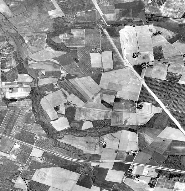
This is the area of Woodstream and the Cherry Hill border. The divided line running near the bottom of the photo is Route 70, which was Route 40 when this photo was taken.
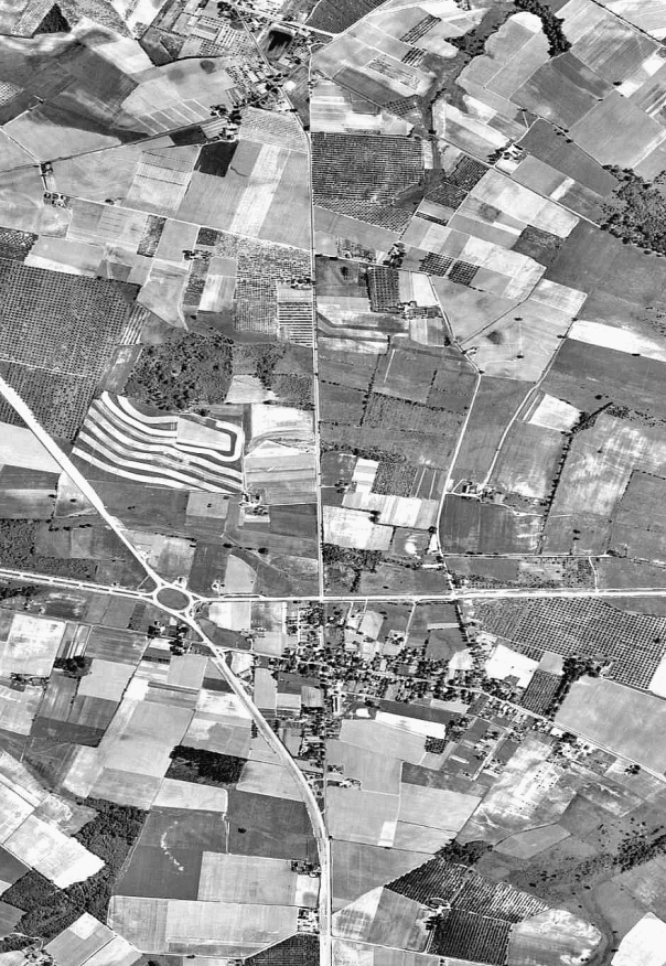
This is the area of the village of Marlton. It looks like Route S-41 (Today Route 73) was being widened to four lanes starting from an area north of the circle when this photo was taken.
Since 08-28-2008